Spring is officially here, but it still looks and feels like winter in most of Southern New England. Wednesday was the seventh consecutive day of colder than normal weather in Southeastern New England. It was also the seventh straight day with a high temperature of 43° or lower at TF Green Airport. The average temperature for the month has now slipped to just below normal after starting the more than 3° above normal through the first couple of weeks.
Flakes fly again Thursday
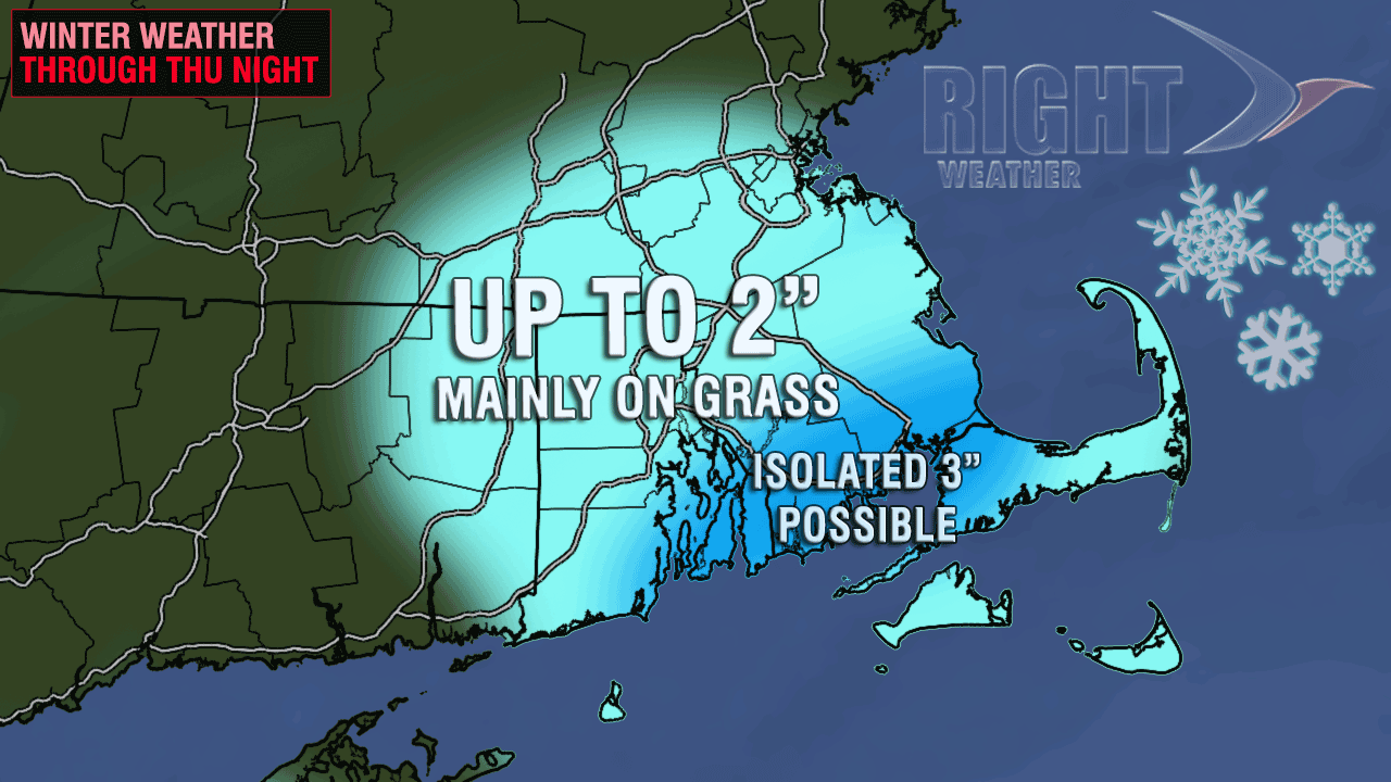
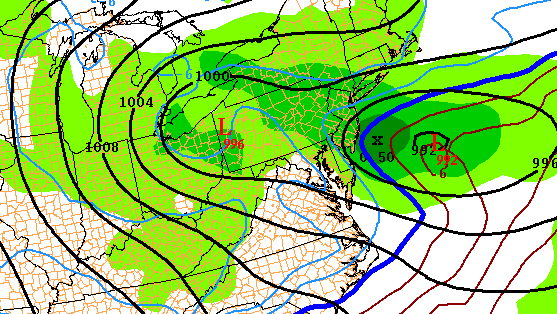
There is not much mild weather in the forecast for the next week, and many will see snowflakes flying again on Thursday. A storm moving into the Atlantic Ocean will combine with a disturbance over the Northeast to bring the threat of primarily light snow Thursday afternoon and evening. It will be a fairly close call with heavier amounts, but, right now, it looks like the heaviest precipitation will stay offshore. In any event, a minor accumulation, mainly on the grass, is possible in RI and SE MA. There is the possibility of a few 3″ amounts from Newport County to Buzzards Bay and Falmouth. With this weather setup, it’s quite possible the snow will not be heavy enough to accumulate at all given the high sun angle at this time of the year.

Thursday will start out mostly cloudy, with the chance of snow by midday. The odds of snow increase late in the day and during Thursday evening. Highs will be in the upper 30s to low 40s, with temperatures falling once the precipitation begins. The best time for accumulating snow is between 7 pm Thursday and 2 am Friday. The temperature will fall into the upper 20s Thursday night. Any snow should wind down by dawn Friday.
Quiet weekend, another storm possible early next week
Friday afternoon looks partly cloudy, with highs near 40. The wind will kick up out of the northwest to 10-25 mph. More chilly weather funnels into Southern New England on the northwest breeze through the first half of the weekend. Saturday will start in the in the 20s before topping out in the low to mid 40s under mostly sunny skies. It will feel cooler because of the gusty breeze. Sunday looks better, with highs in the mid to upper 40s and less wind.
A storm will move from the Southeast to the Mid-Atlantic early next week. It is still unclear what, if any, impact that storm will have in New England. In a worst-case scenario, the storm will bring another wintry mix to RI, CT, and MA. In a best-case scenario, the storm slides out to sea without much of an impact in Southern New England. The weather still looks a bit cool for late-March through most of next week.


